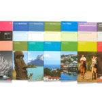
Tourism
National Tourism Service, Sernatur | Maps Development
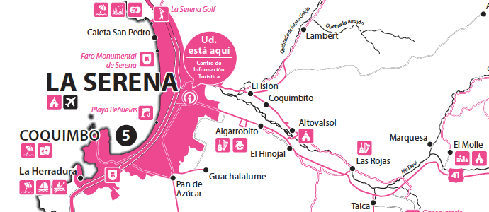
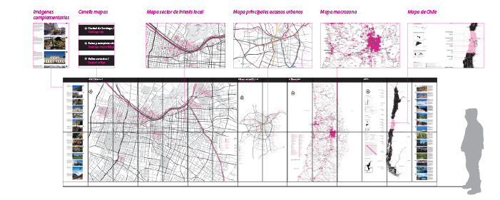
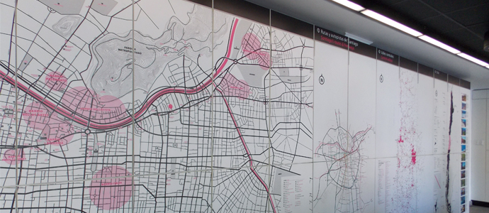
Creation of cartography products for Chile’s National Tourism Service’s Information Offices (Sernatur-OIT). Maps showing the main roads, cities and touristic attractions, divided in the country’s main geographical areas along with a series of local maps. A graphic elements stylebook (technical manual) was later developed to set the guidelines for the development of future Sernatur maps.